The Polygons
Below we outline some of the basics of the polygons used in this exploration, the Land Type Associations (LTAs), HUC 12 watersheds and the hexagons.
Land Type Associations
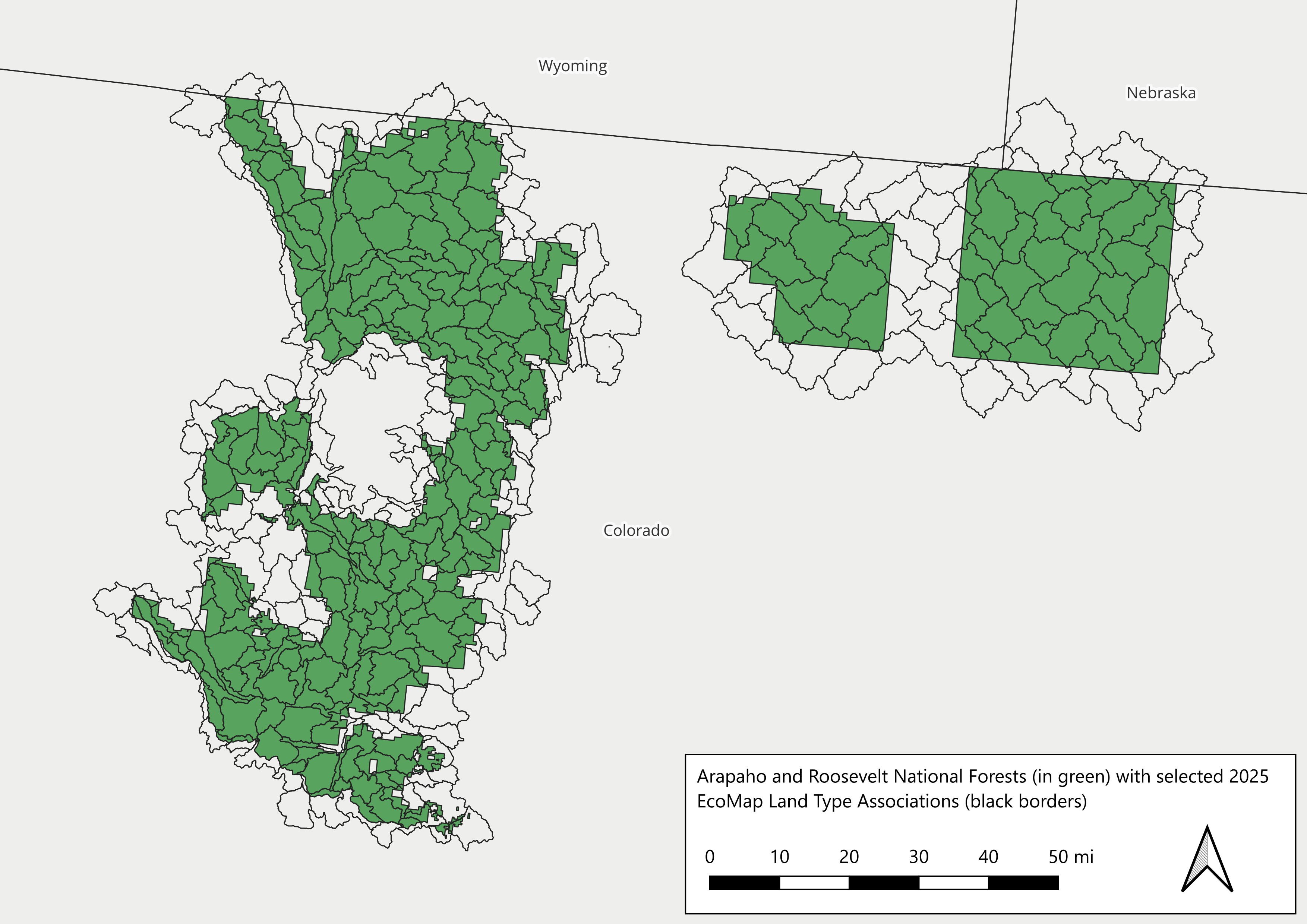
Arapaho and Roosevelt National Forests (green) and intersecting LTAs (black)
HUC 12 Watersheds
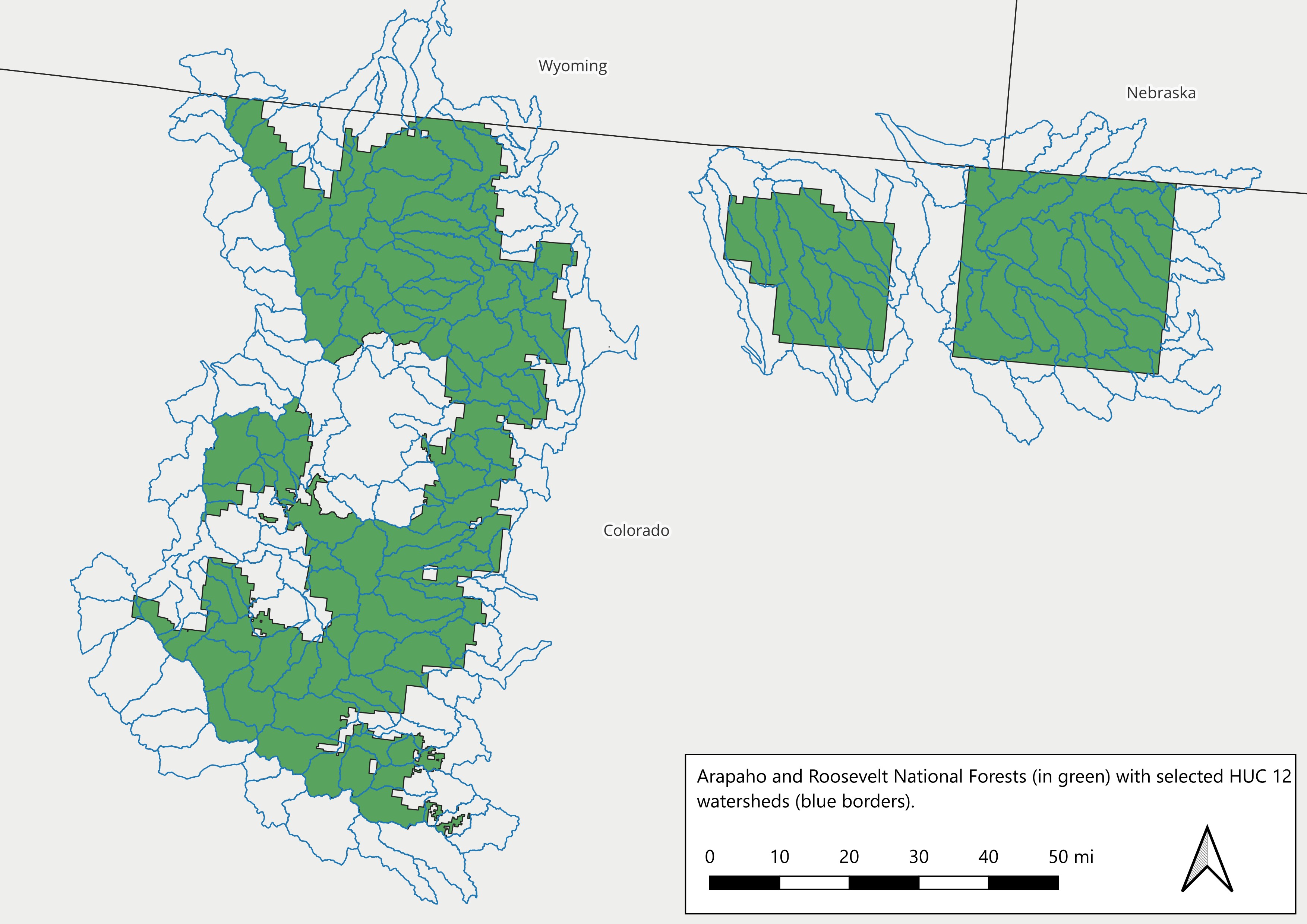
Arapaho and Roosevelt National Forests (green) and selected HUC 12 watersheds (blue).
Hexagons
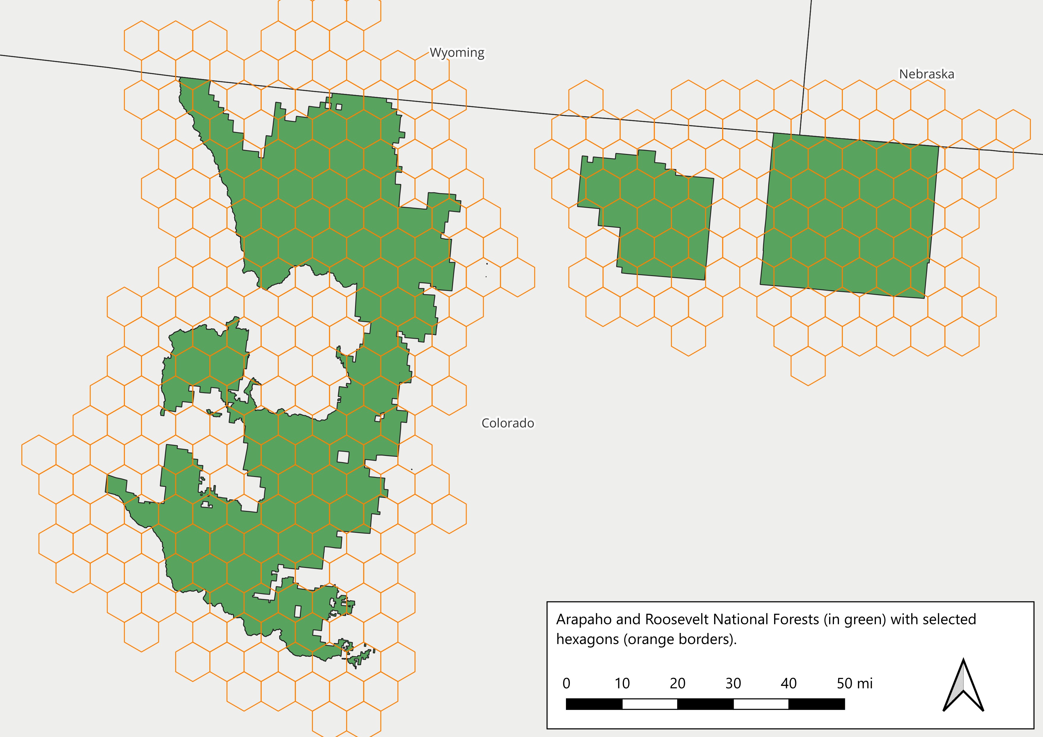
Arapaho and Roosevelt National Forests (green) and selected hexagons (orange).